Allmaps Annotations
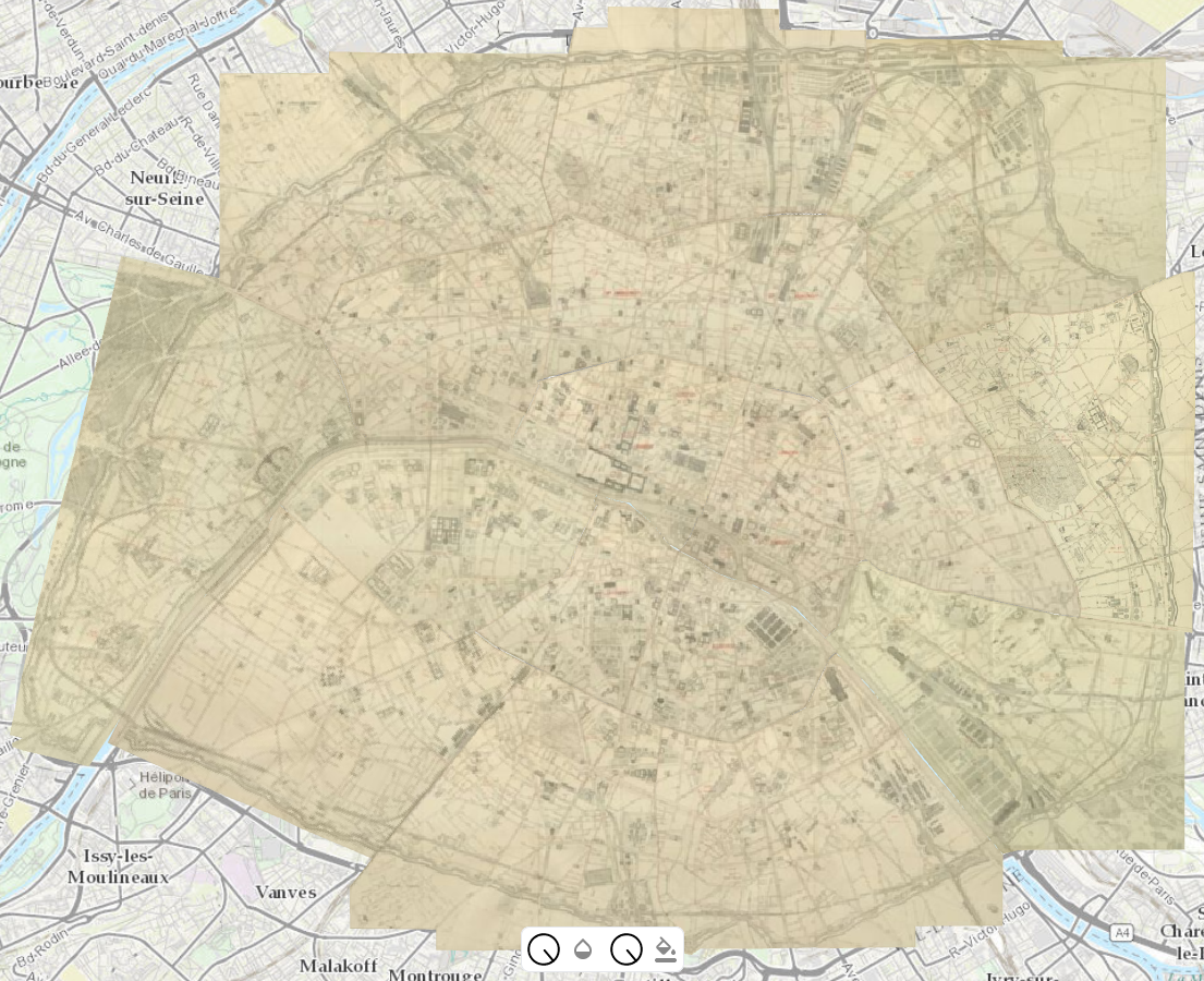
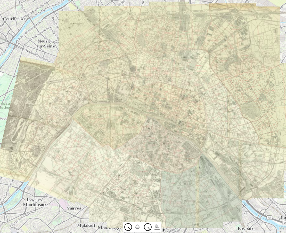
A few maps of Paris georeferenced with Allmaps annotations
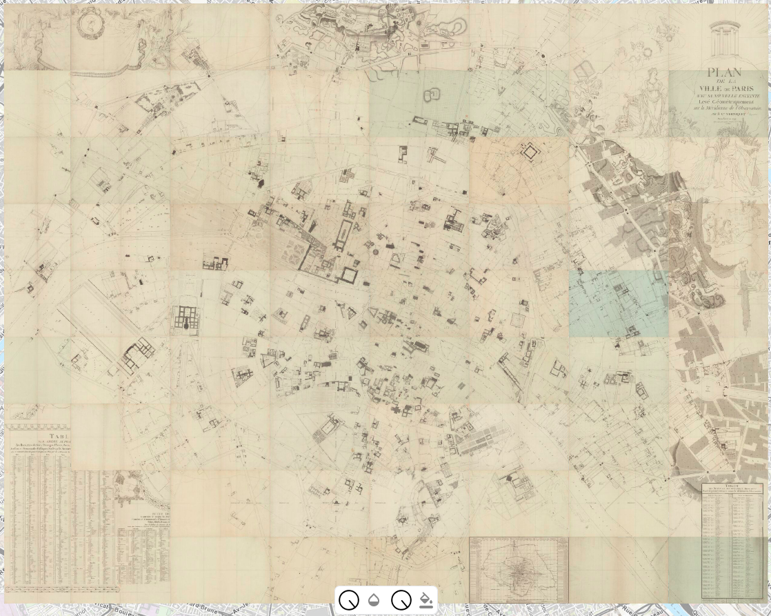
The Verniquet Atlas from Gallica (BnF) link
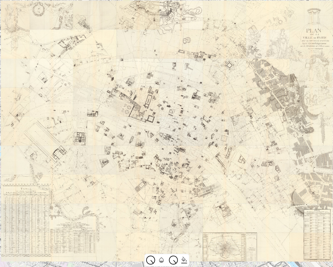
The Verniquet Atlas from David Rumsey (Stanford) link
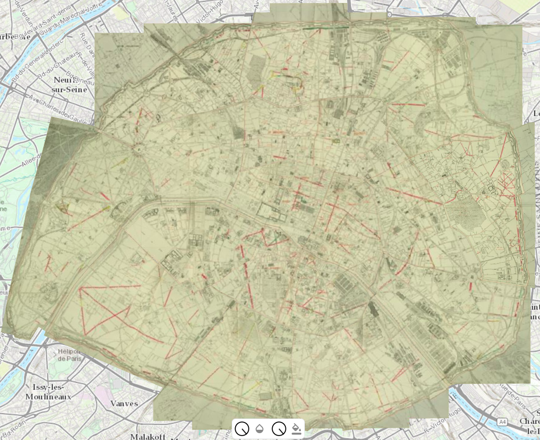
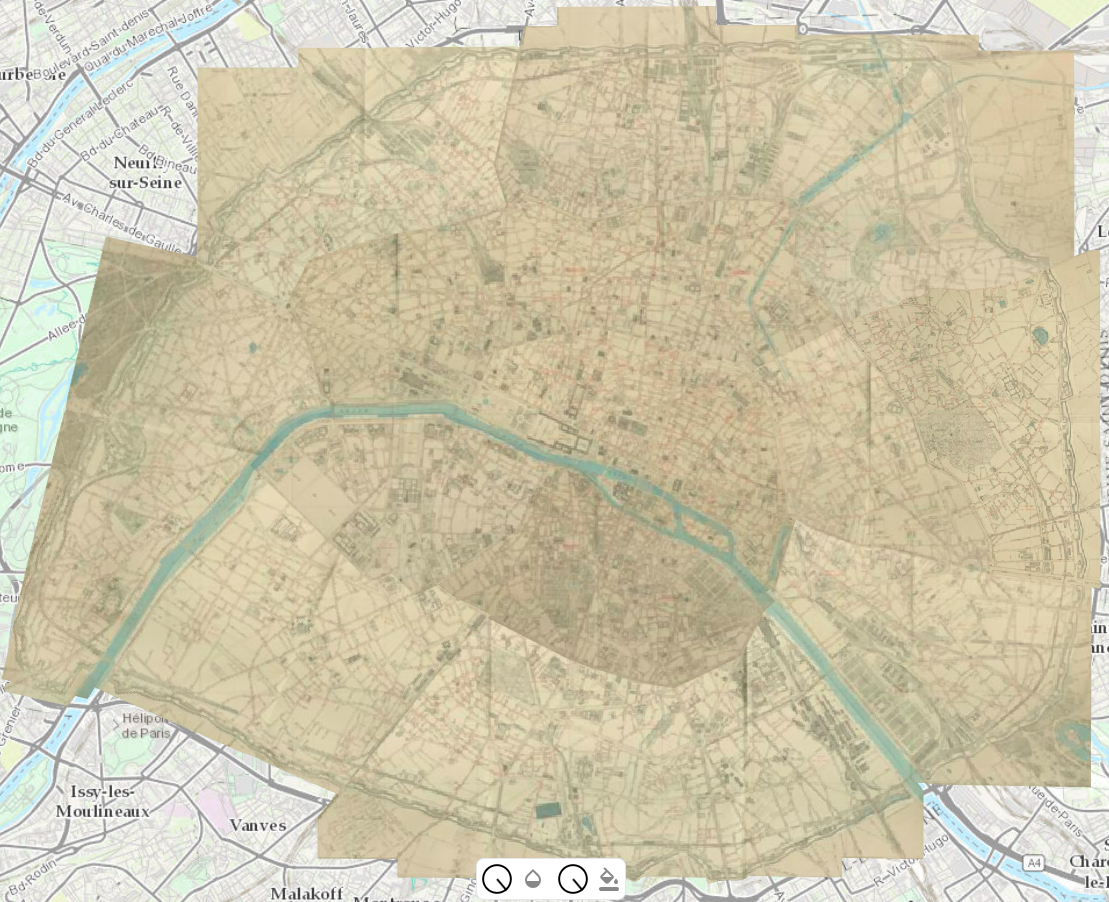
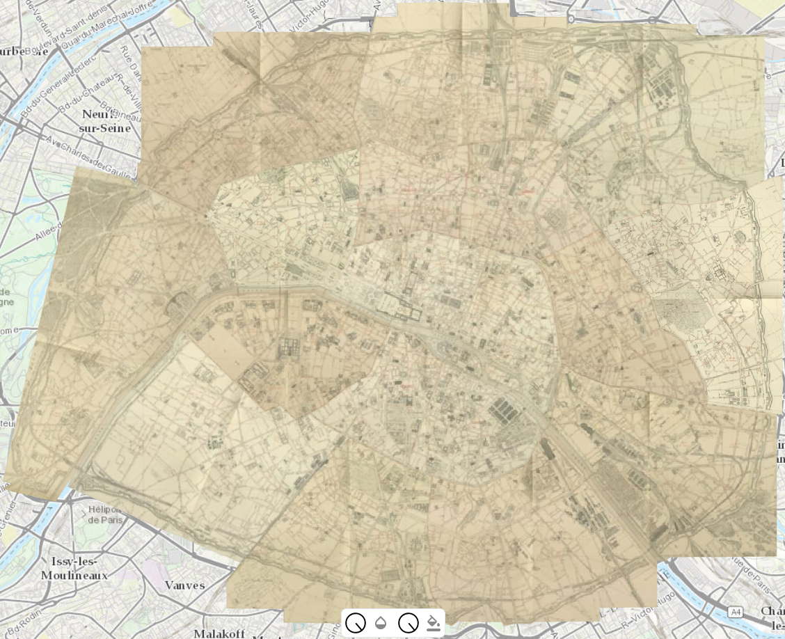
The Atlas municipal […] 1878 from BHdV (Ville de Paris) link
The Atlas municipal […] 1886 from BHdV (Ville de Paris) link
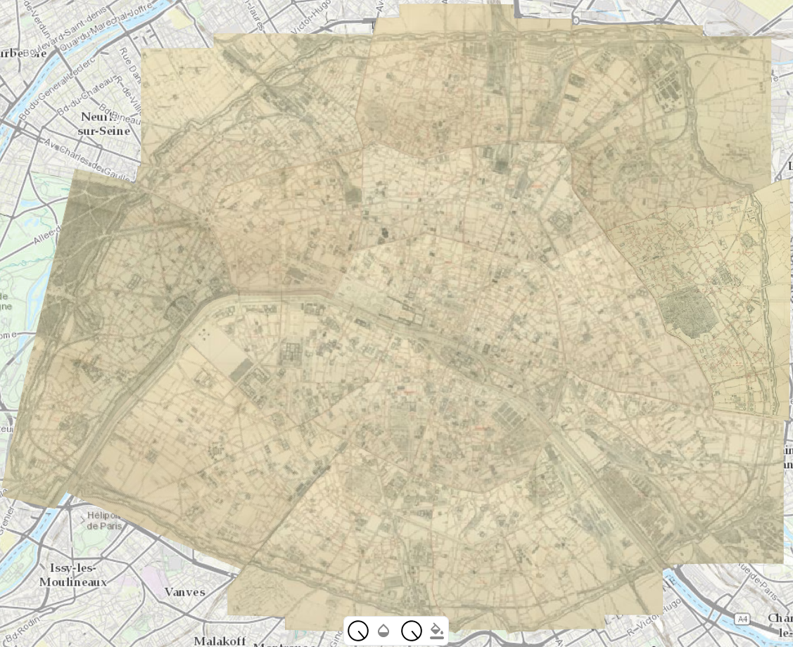
The Atlas municipal […] 1887 from BHdV (Ville de Paris) link
The Atlas municipal […] 1888 from BHdV (Ville de Paris) link
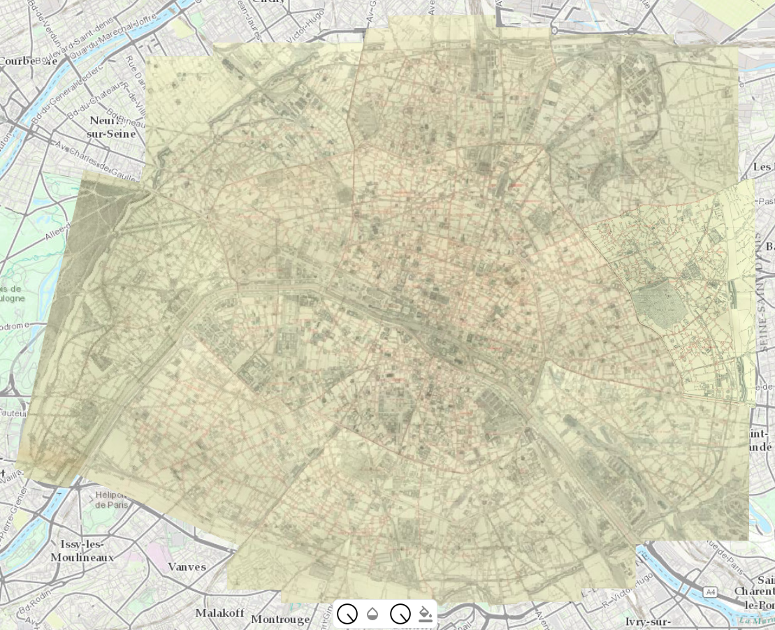
The Atlas municipal […] 1900 from BHdV (Ville de Paris) link
The Atlas municipal […] 1925 from BHdV (Ville de Paris) link
The Atlas municipal […] 1937 from BHdV (Ville de Paris) link
A repository to convert QGIS GCPs to Allmaps annotations
For more information, please check out the GitHub repository!